


In stock
WD643
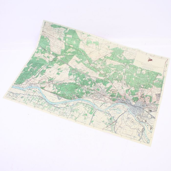
Allied Arnhem/Oosterbeek 1944 Map
£9.99
£9.99
Arnhem Military map
Allied 1944 Arnhem/ Oosterbeek
- Reprint of the actual maps the British 6th Airborne would have been issued with on operation market Garden September 1944.
- Scale 1:25,000
- Printed on period aged paper to make it look old.
- Size 50 x 70 cms
- The map shows the town centres of Arnhem, Oosterbeek, the drop zones of Wolfhezen, Renkum, Heelsum, Ginkel heath and also the polish drop zone of Driel south of the River Neder
- Map was printed originally by the US Army Map service 1944
| Weight (g) | 40.00 |
|---|---|
| Restricted Product? | No |
| Affiliation | British |
| Service | Army |